
Integrated
Economic Area Development in East Indonesia
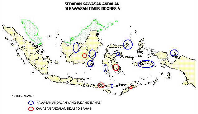 The
Appointed Location of the Integrated Economic Area Development in East
Indonesia
The
Appointed Location of the Integrated Economic Area Development in East
Indonesia
A Brief
Explanation about KAPET:
In Repelita VI, the
national strategy for spatial planning states the policy to set up priority
areas which have strategic values in the national development. The development
of those priority areas is implemented by inter-sectoral or regional approach,
and focussing to attract more private investment in the areas and its surrounding
regions.
In east Indonesia
region, the national strategy for spatial planning has established 111
priority areas to be developed in PJP II, i.e., 55 areas located in east
Indonesia region. For each priority area, it has been identified the strategic
potential sectors can be developed optimally, which consists of eight strategic
sectors as follows: estate crops, food crops, fisheries, livestock, forestry,
industry, tourism, and mining.
Accompanying those
priority areas and their identified strategic sectors, there were production
regions in east Indonesia such as for food crops in South Sulawesi, North
Sumbawa, Kendari, and Gorontalo; estate crops in Kalimantan, Sulawesi,
Maluku, and Irian Jaya; forest-related products in Kalimantan, Sulawesi
and Irian Jaya; fisheries in Maluku; and livestock in Nusatenggara and
Irian Jaya.
In line with the development
policy for the priority integrated economic development areas, there is
a policy for the development of urbanized regions in east Indonesia which
planned as the center for development for their surrounding areas, such
as national development centers in Ujung Pandang, Manado, Pontianak, Banjarmasin,
Kupang, and Jayapura; interregional development centers in Balikpapan,
Samarinda, Palangkaraya, Mataram, Dili, Ambon, Merauke, Sorong, Palu, and
Kendari.
 Go to Previous Menu
 Go to Main Menu